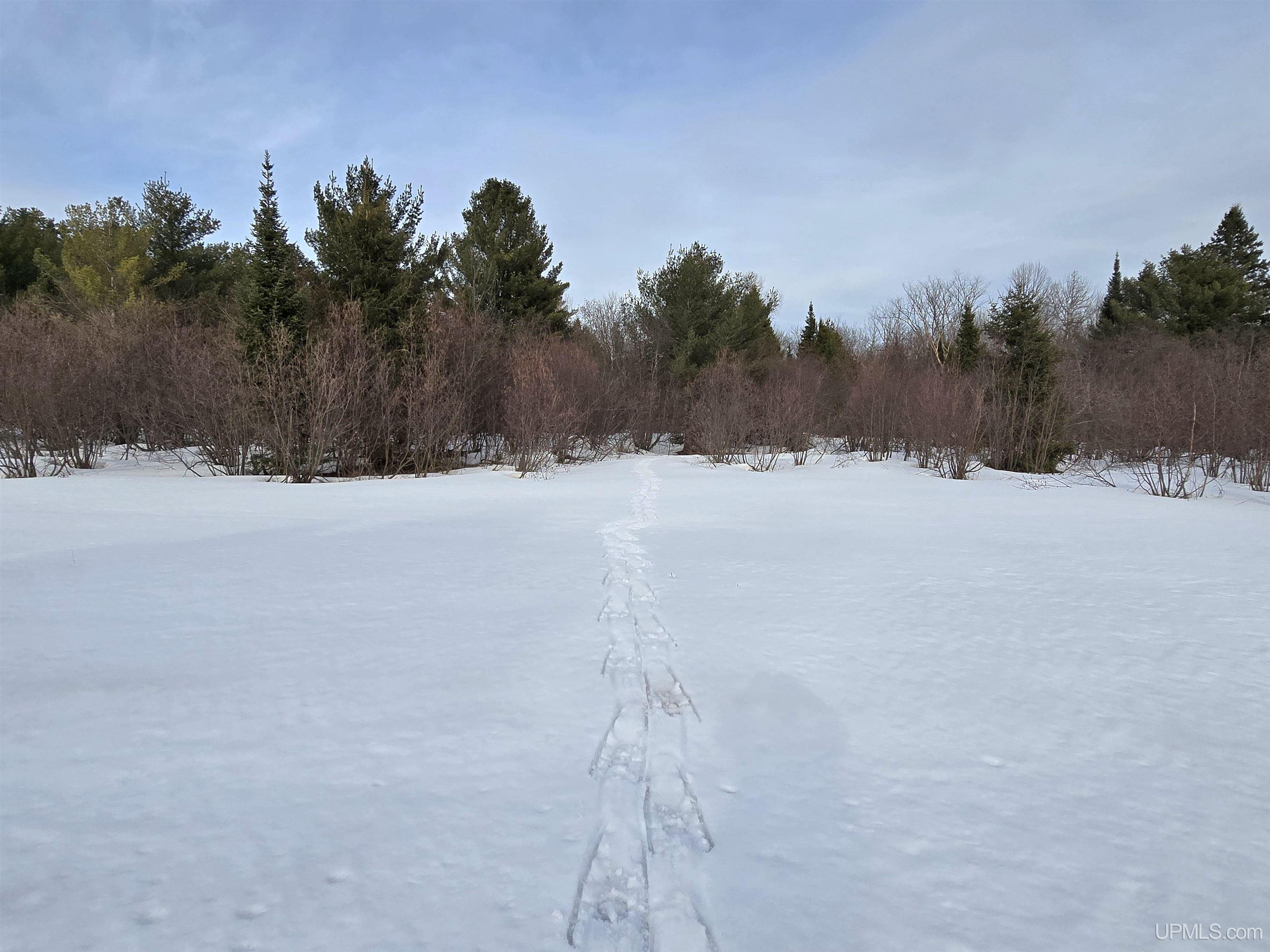
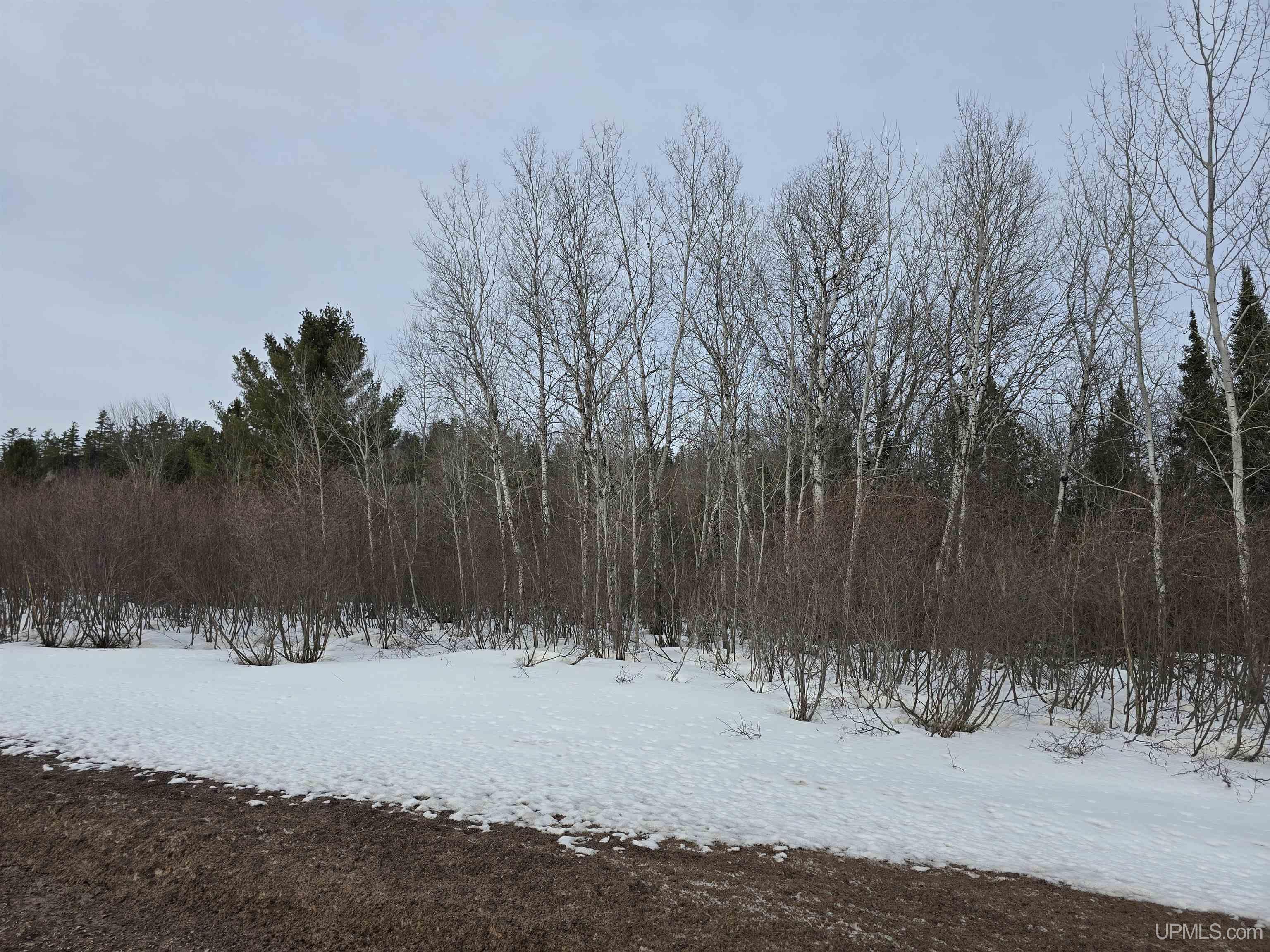
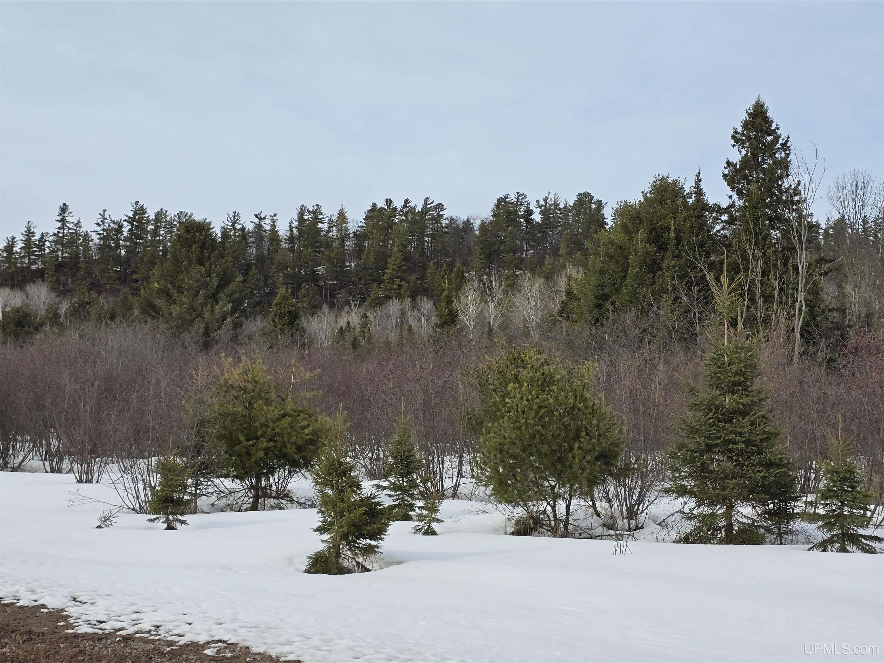
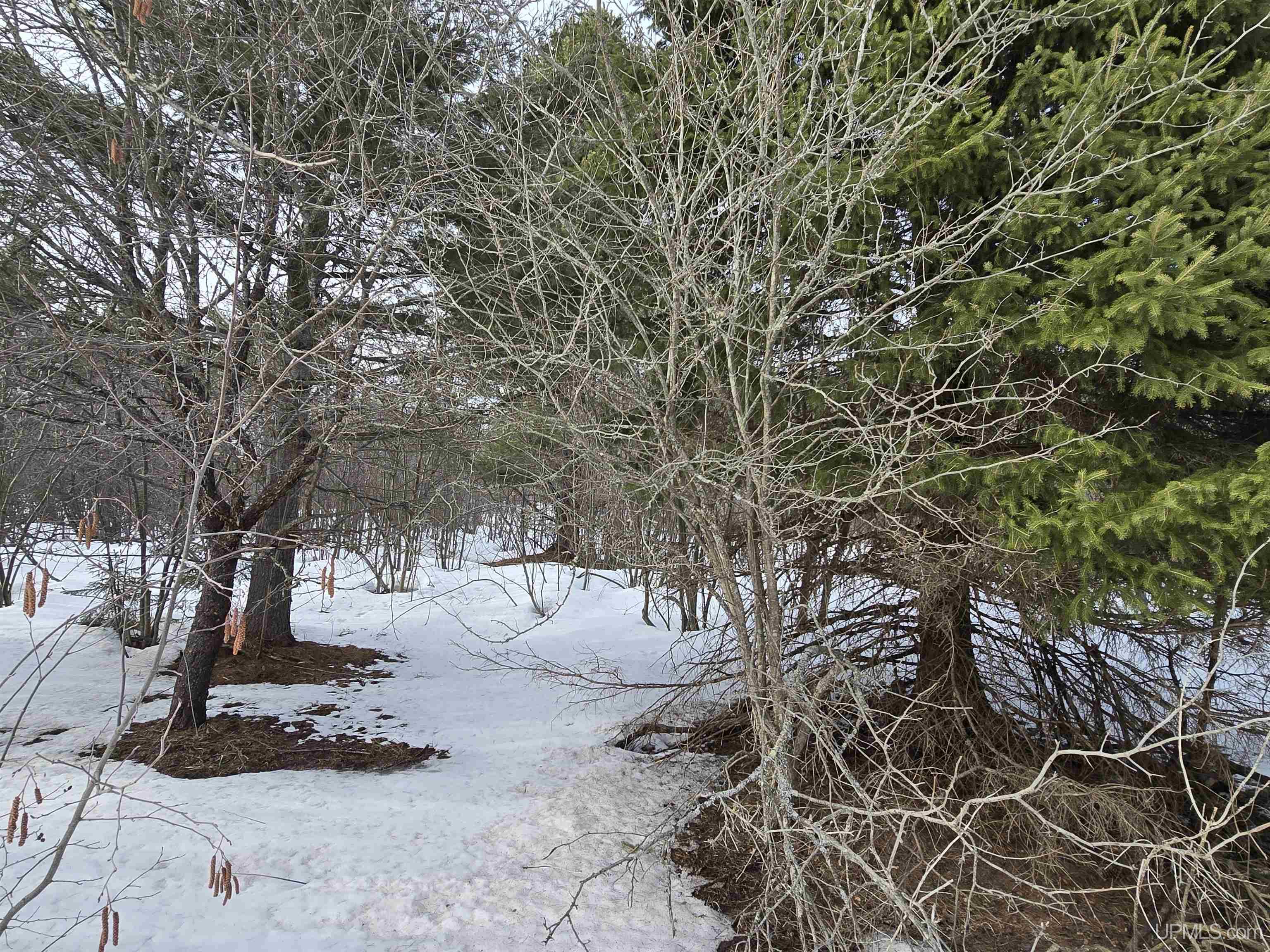
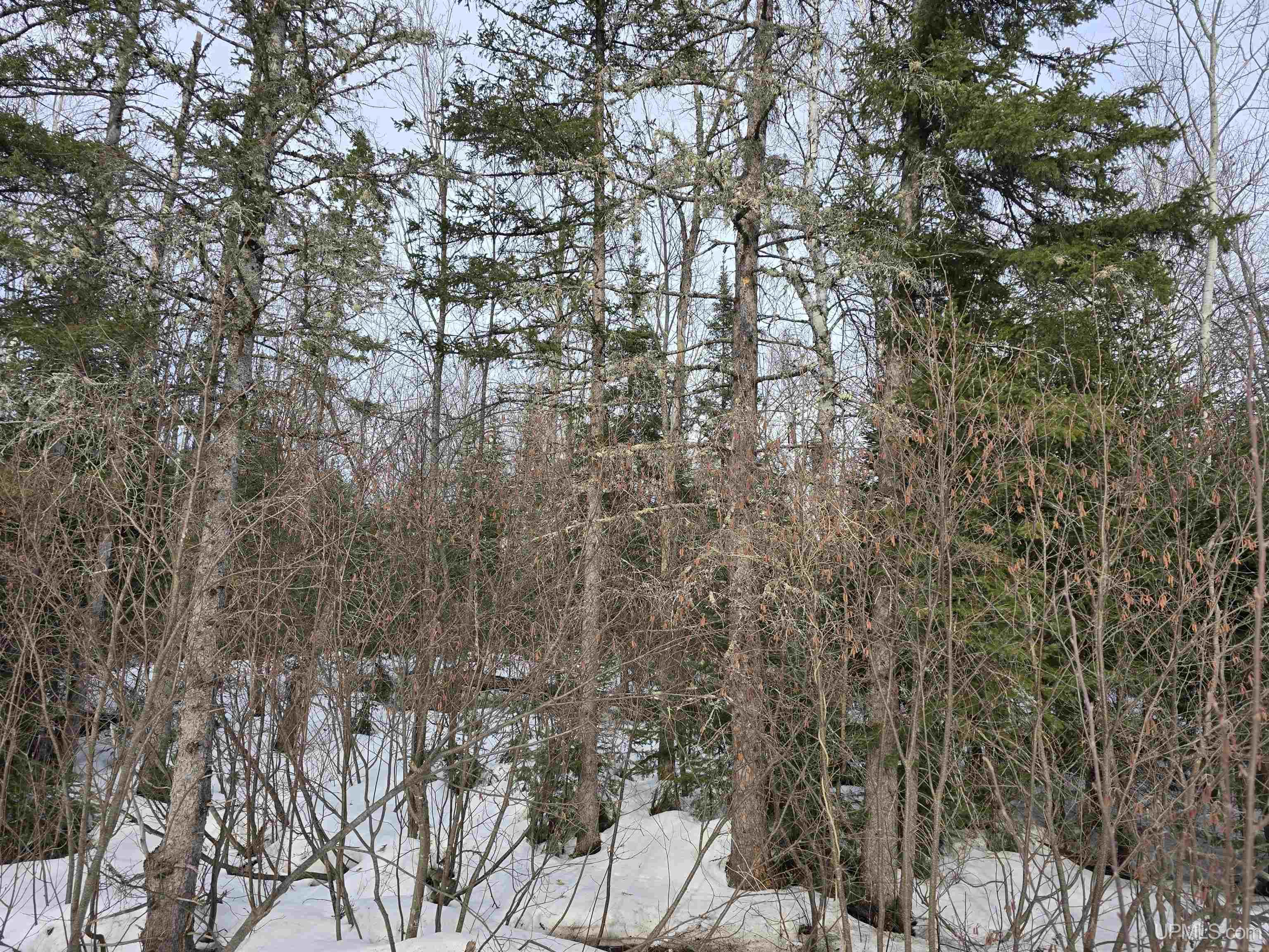
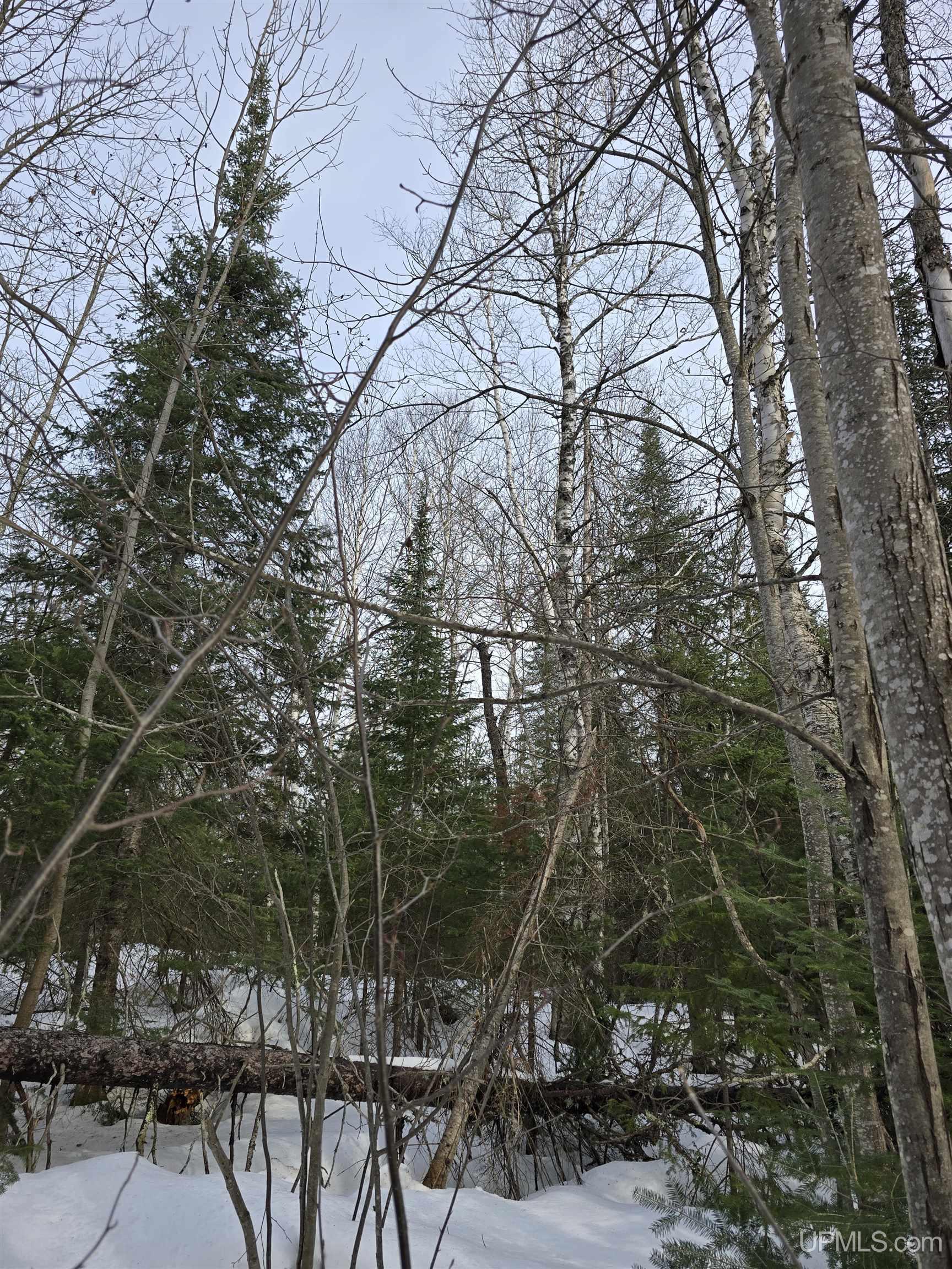
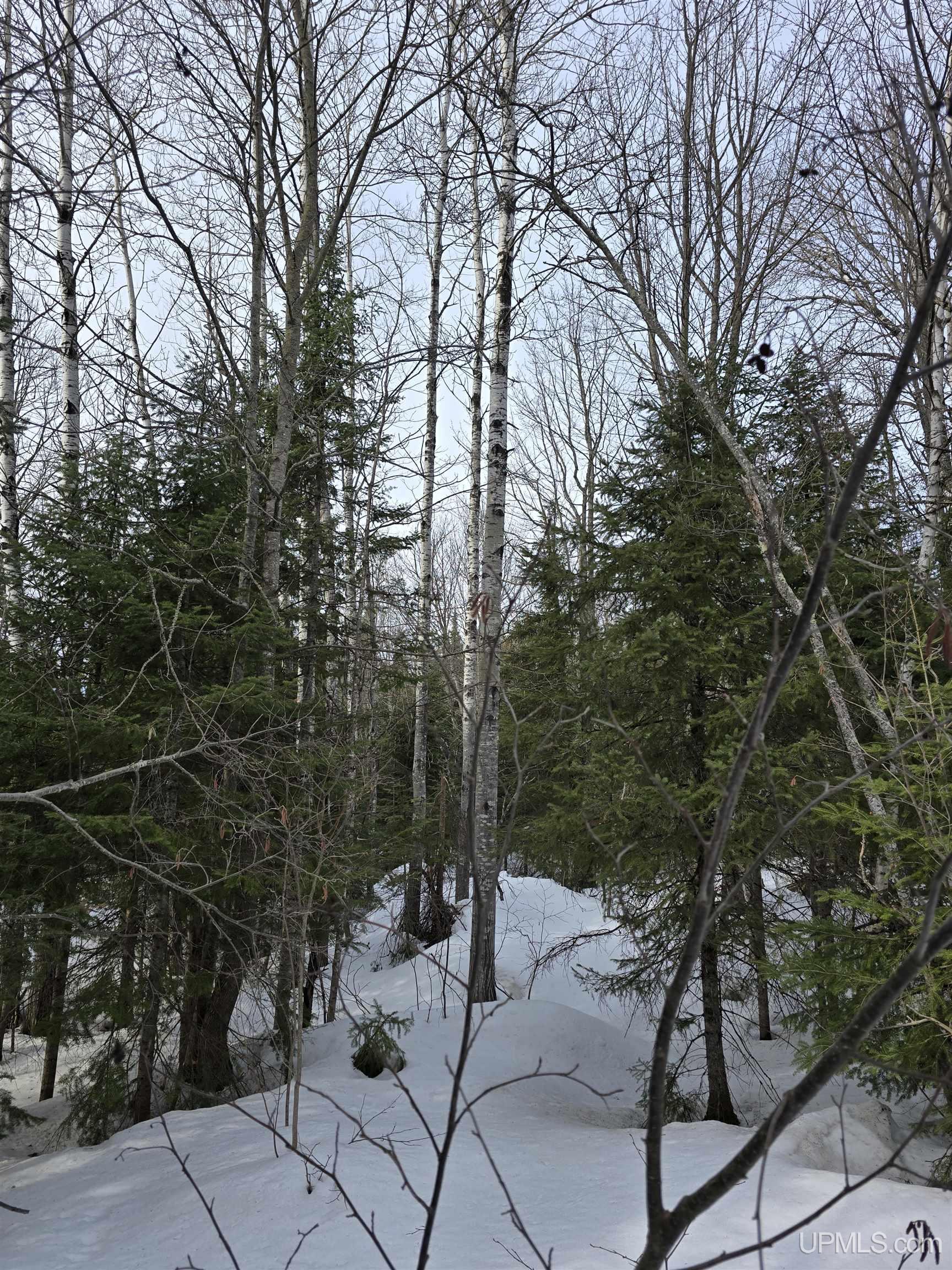
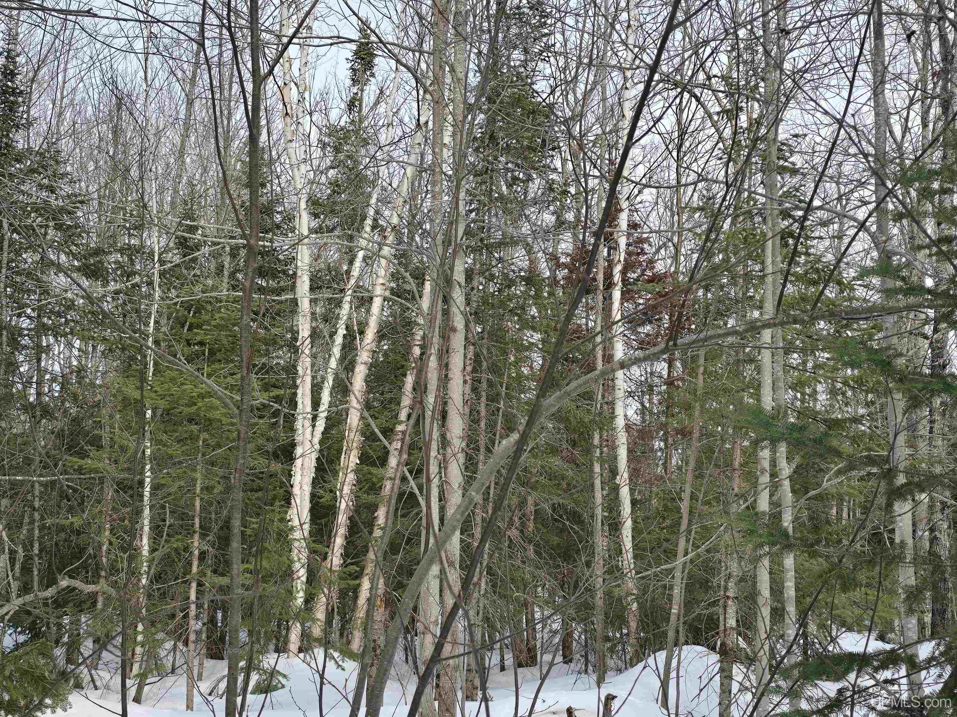
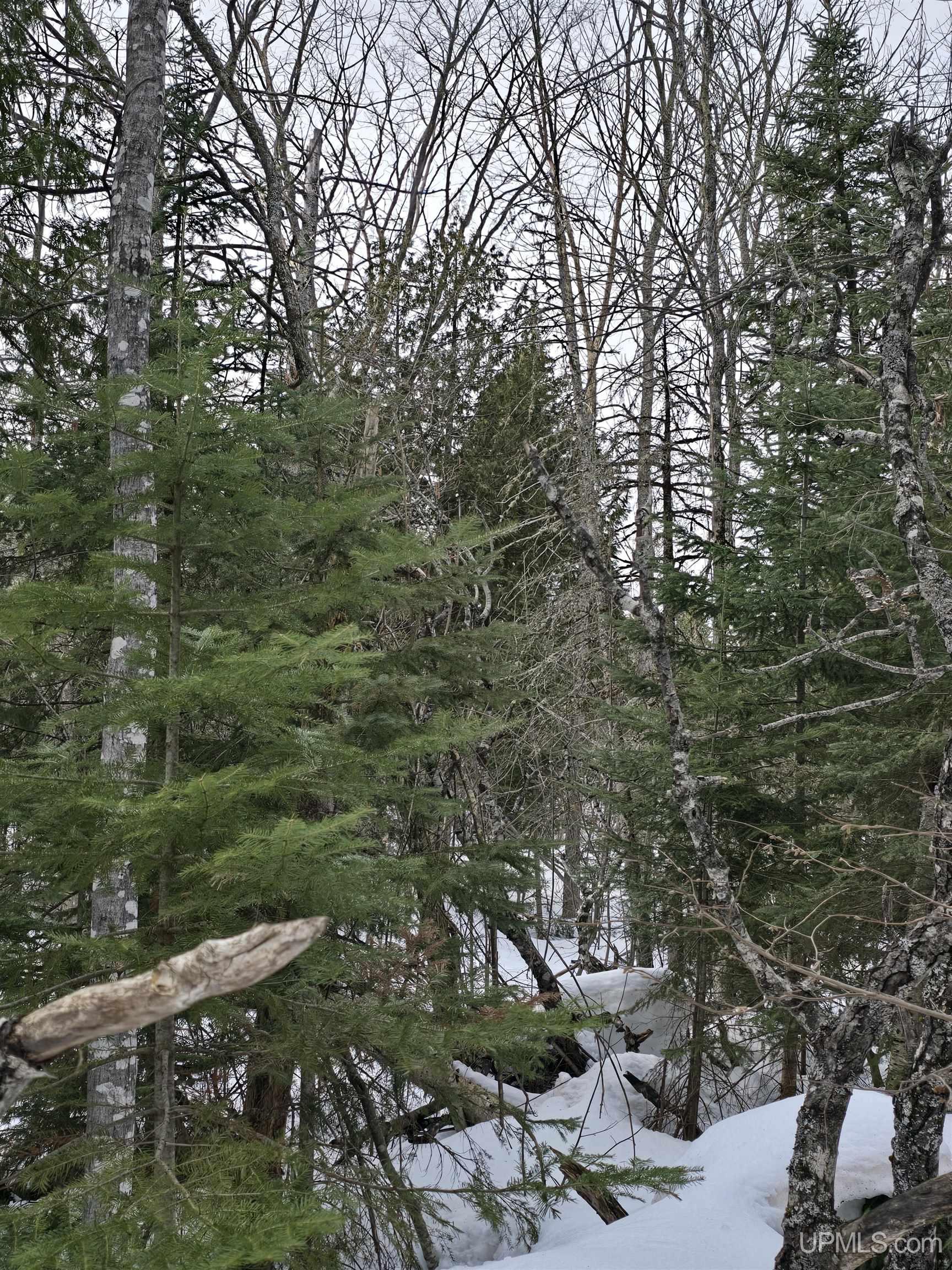
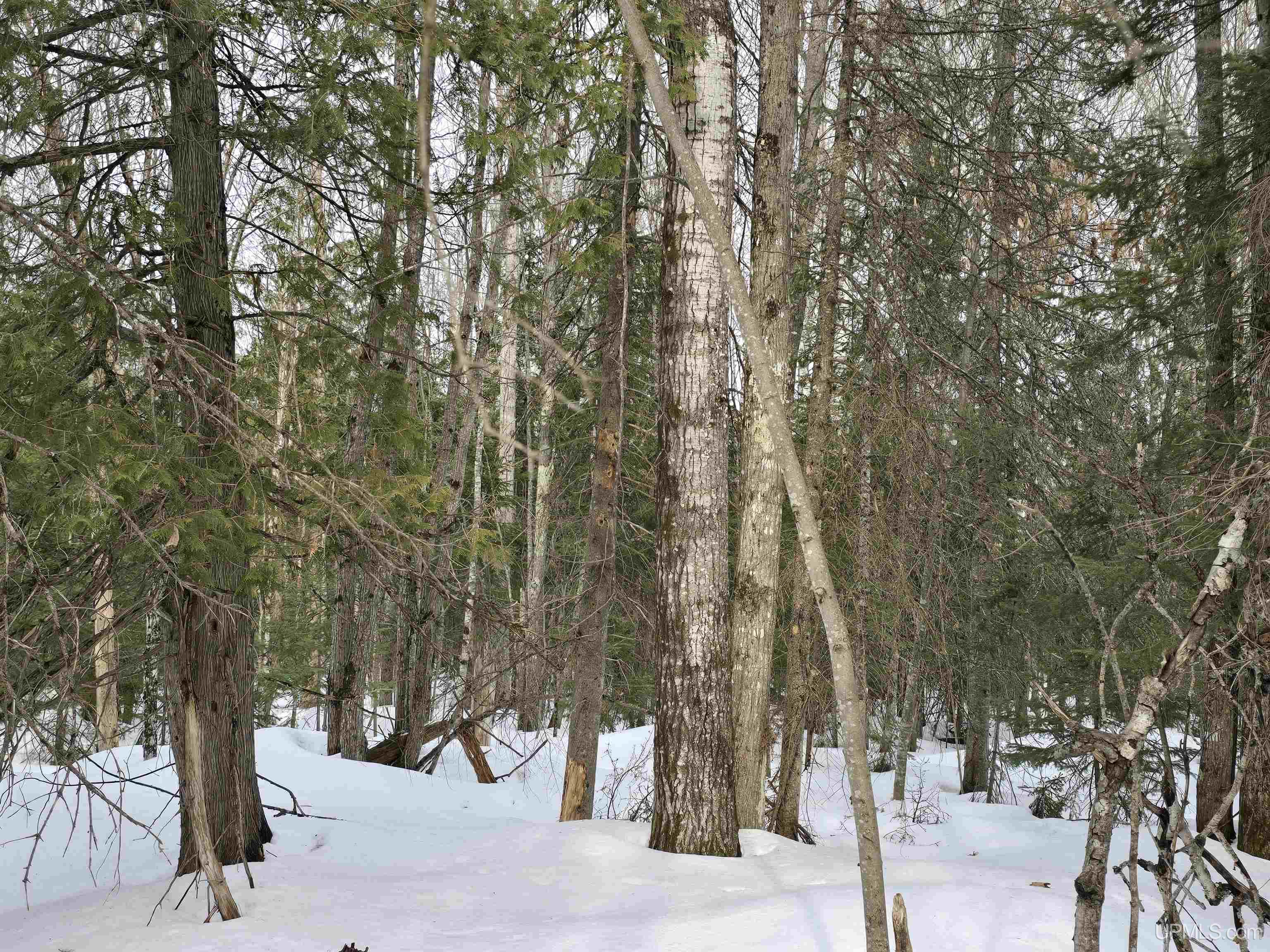
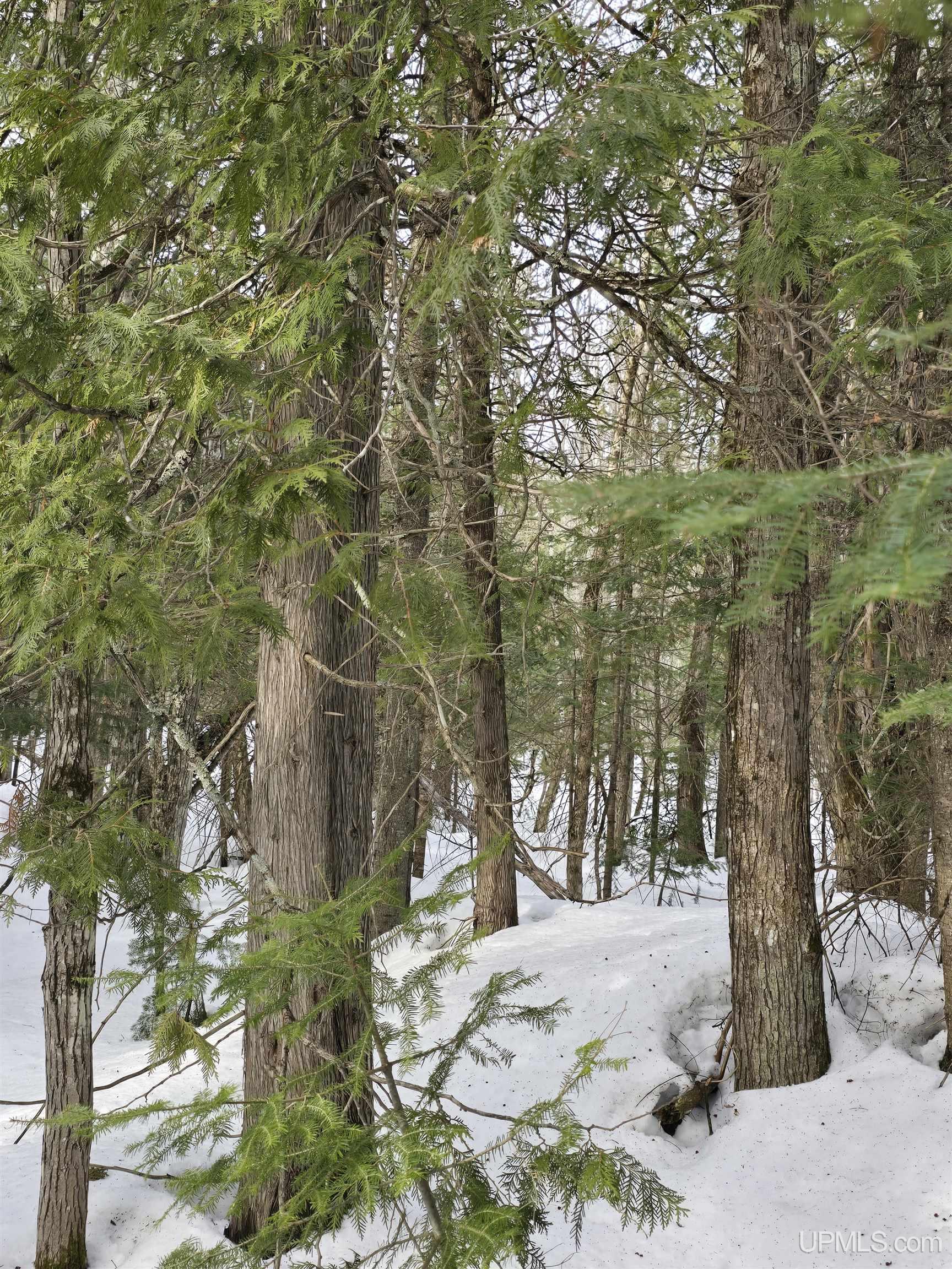
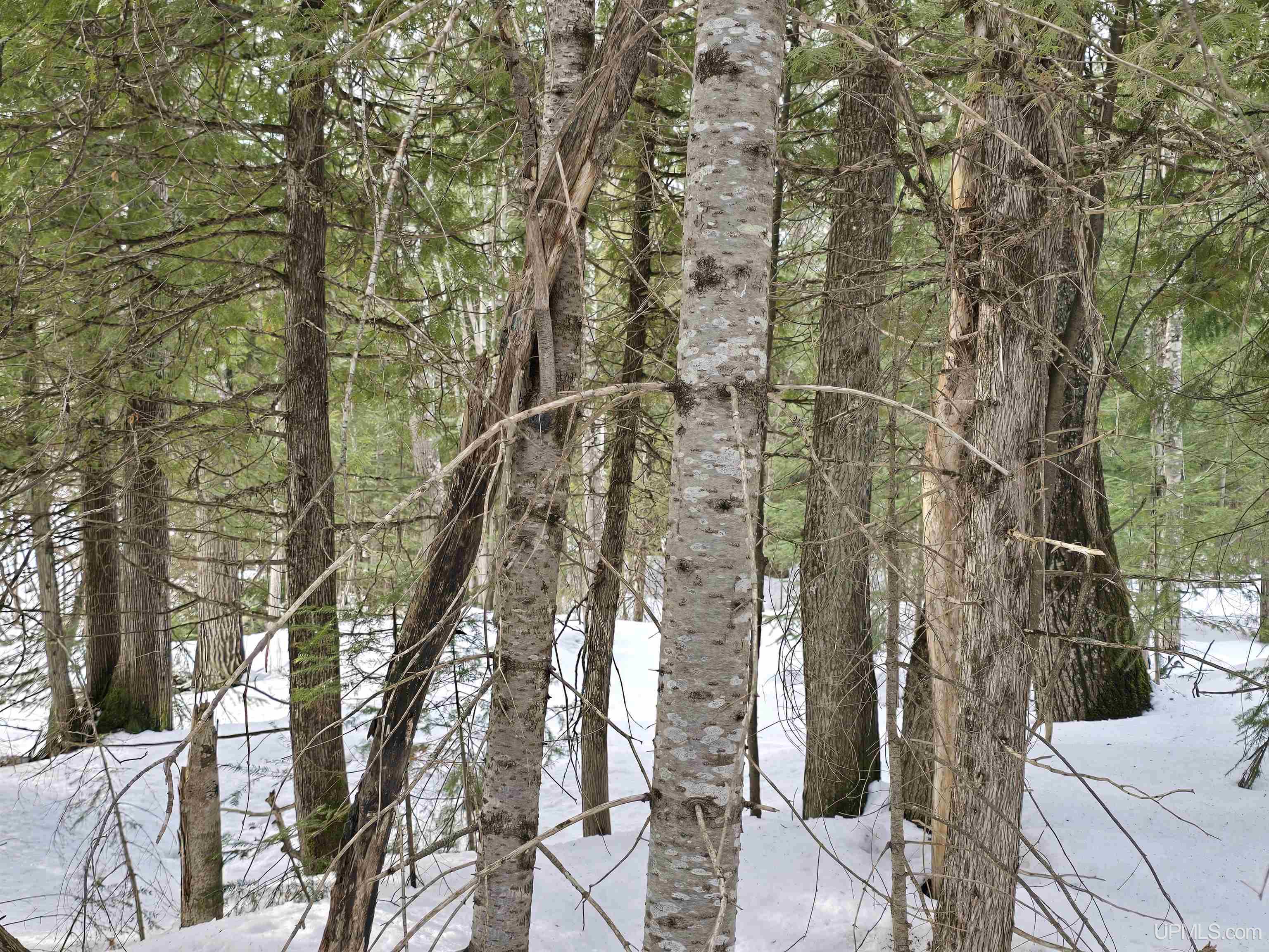
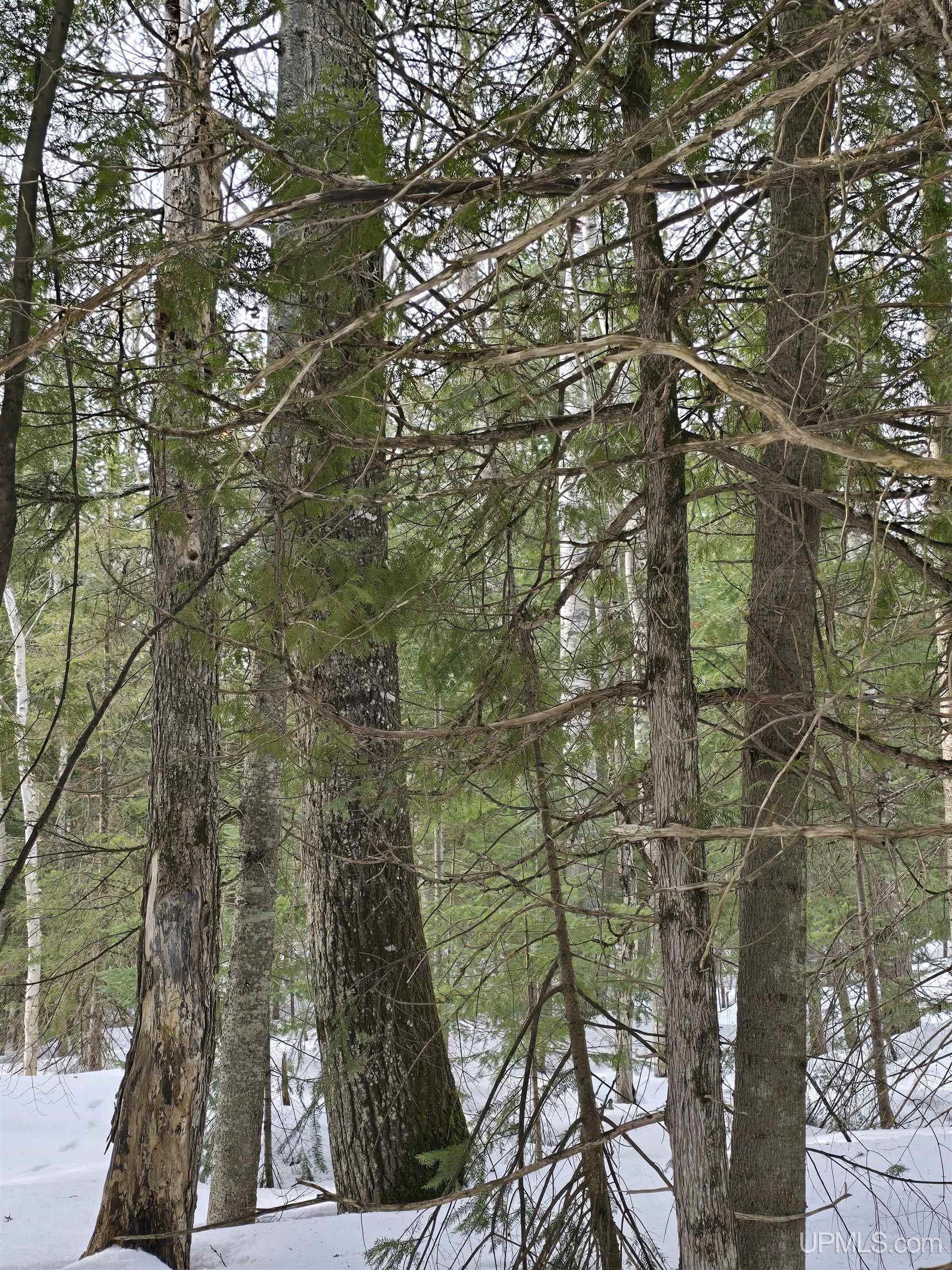
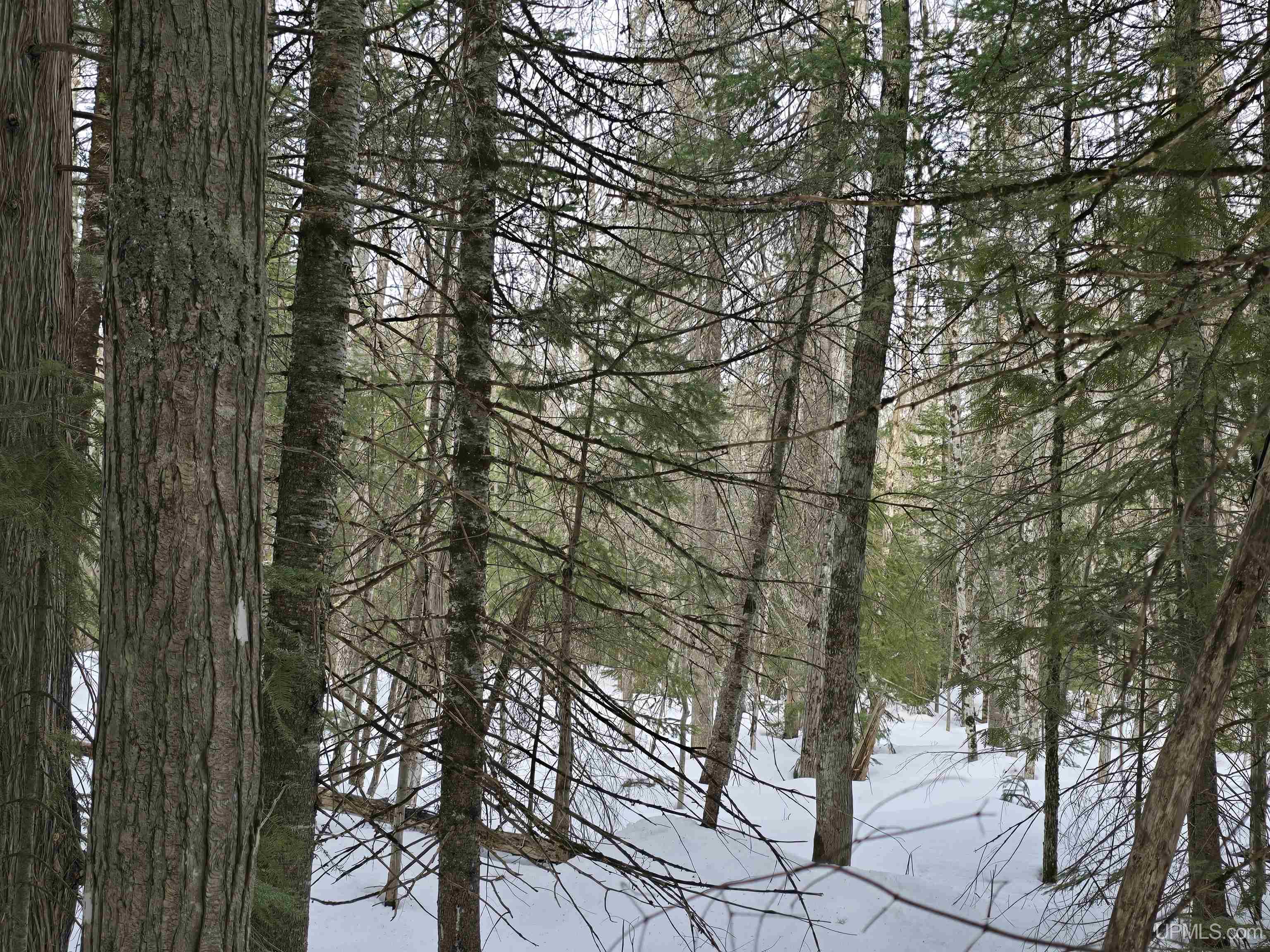
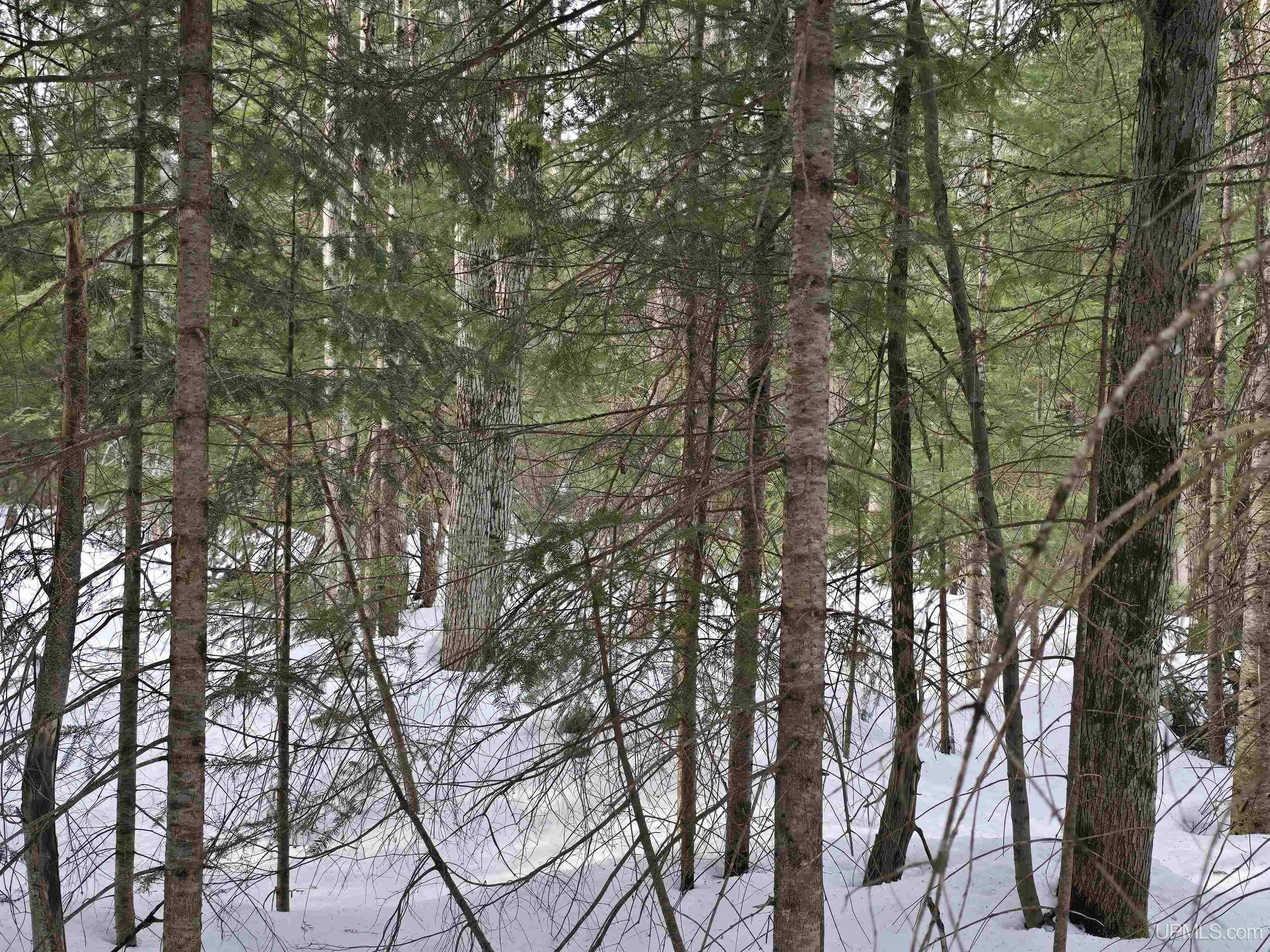
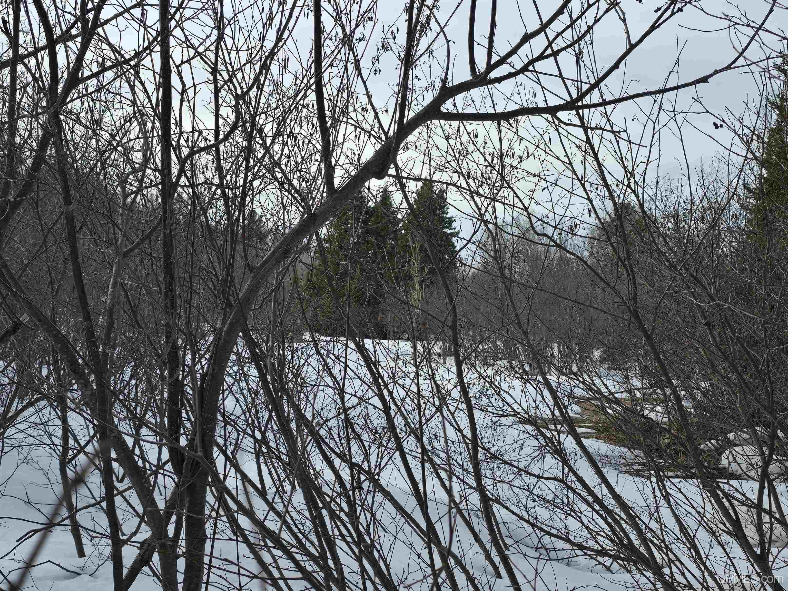
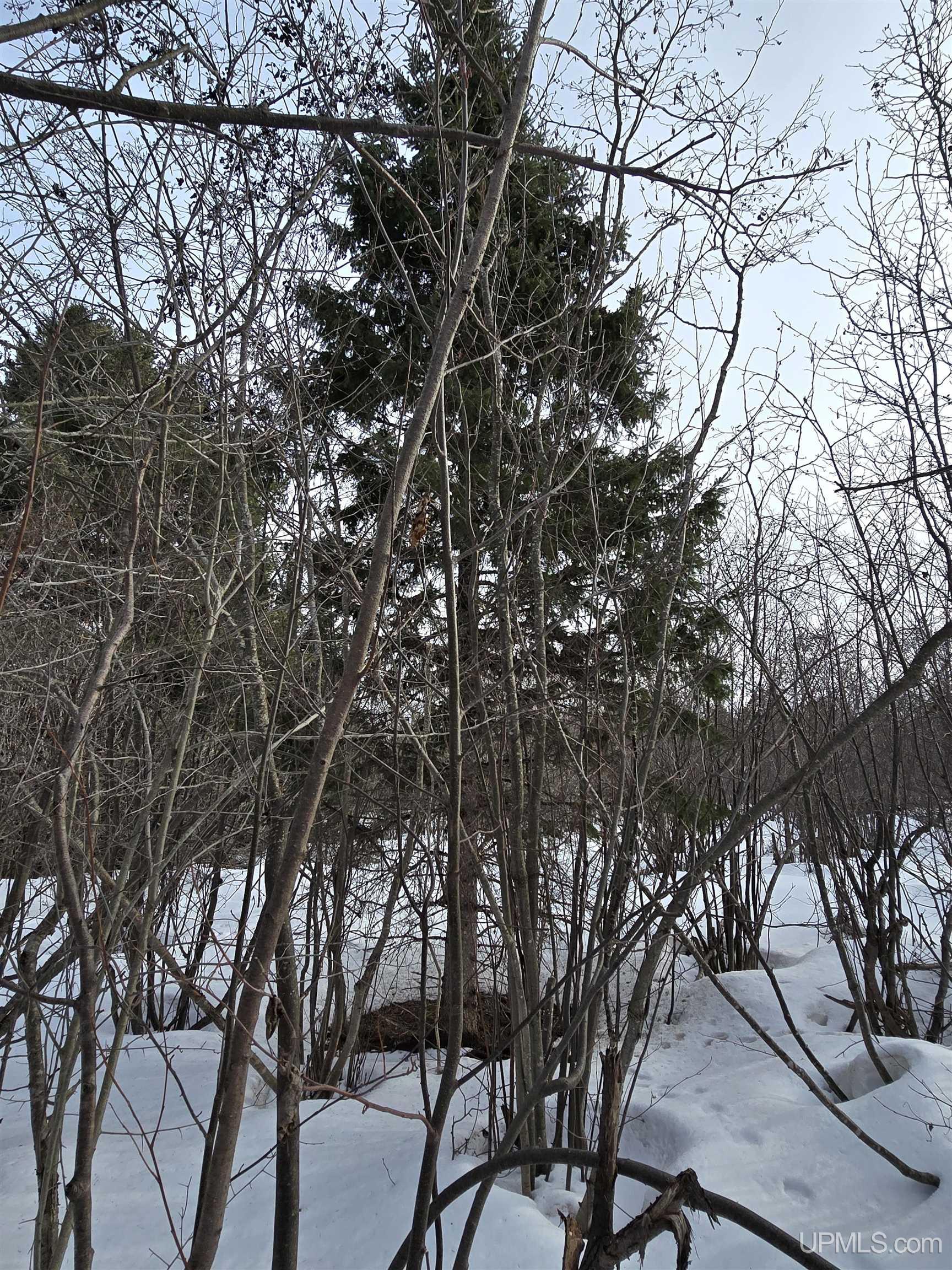
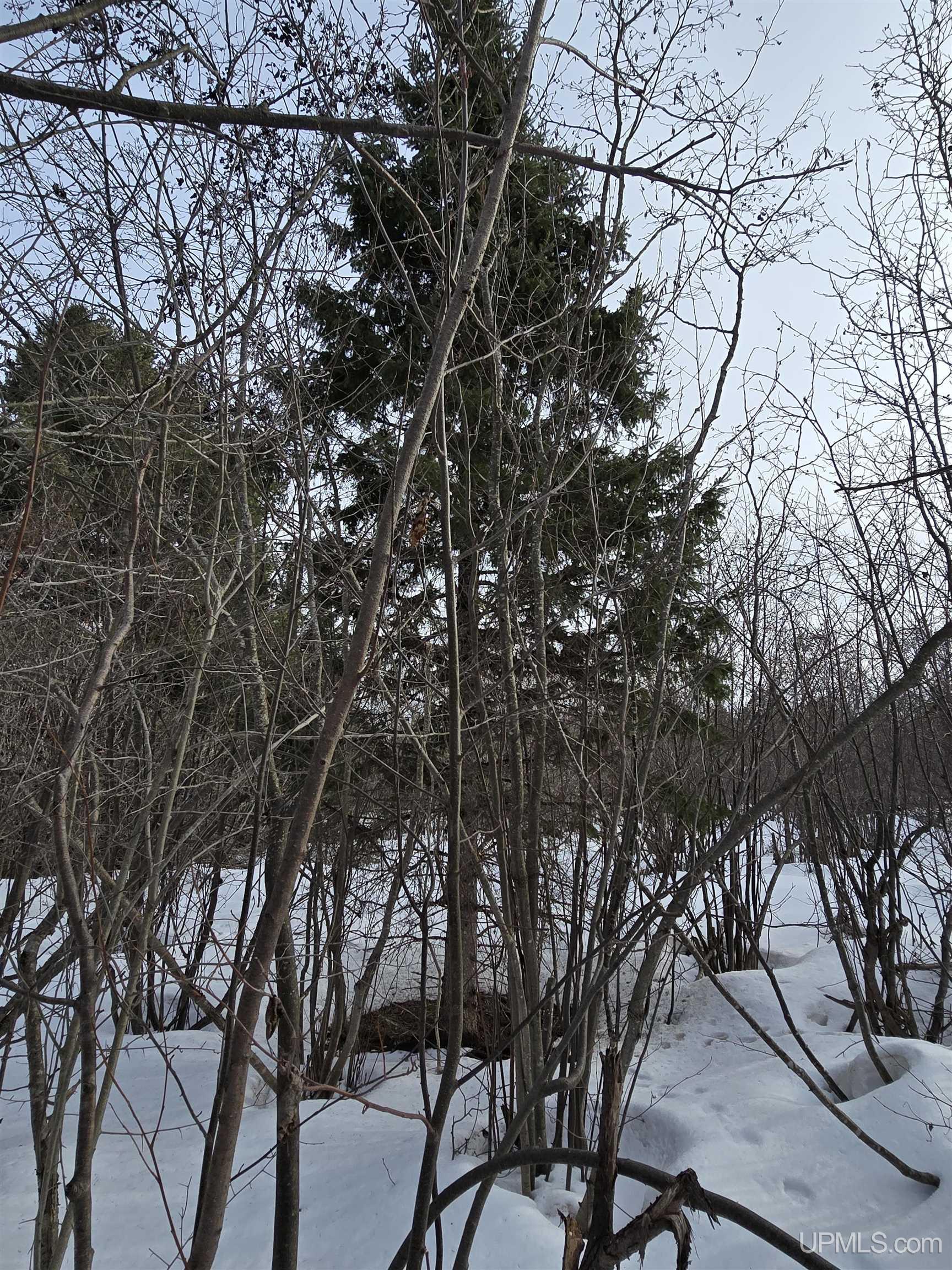
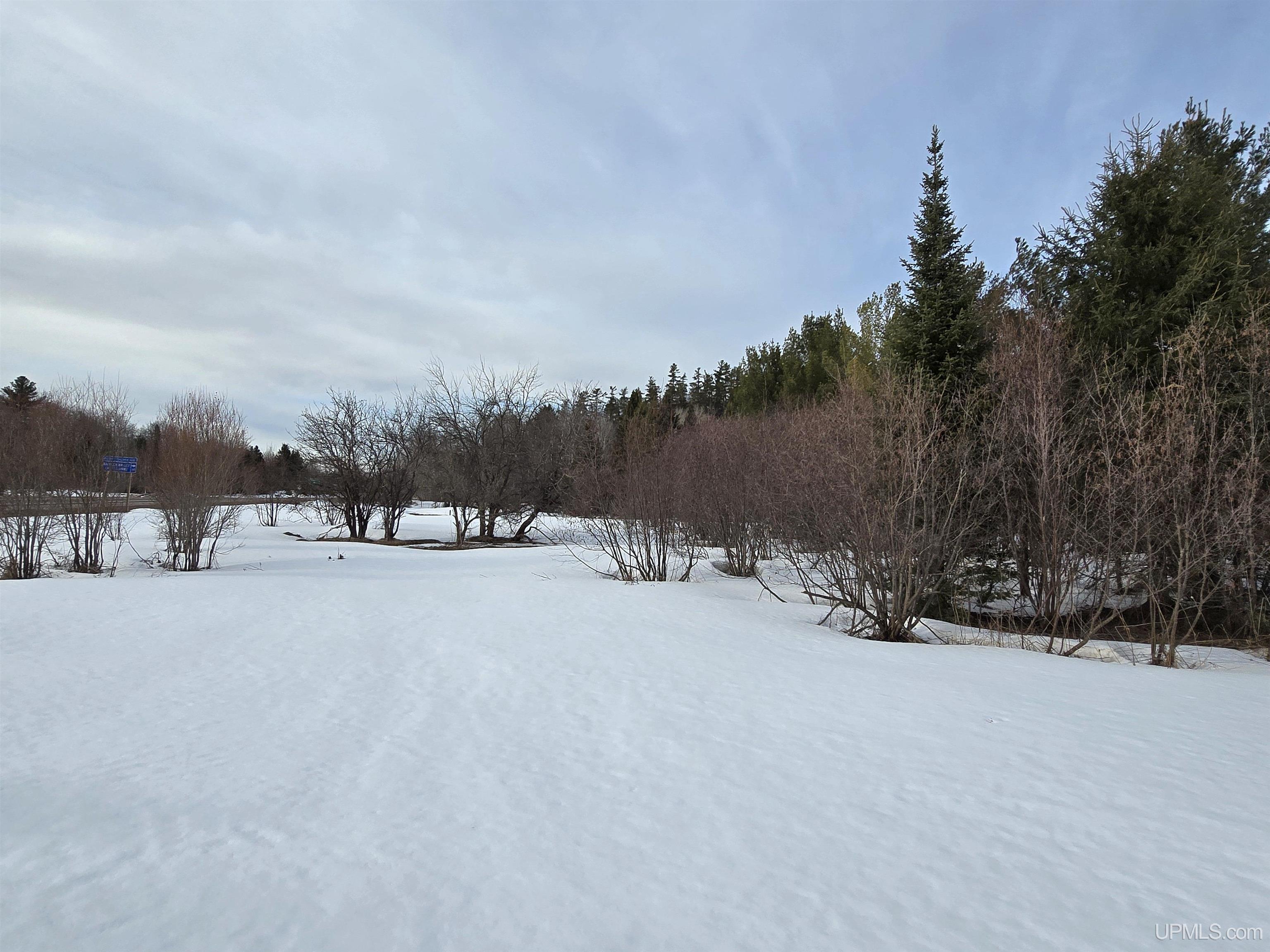
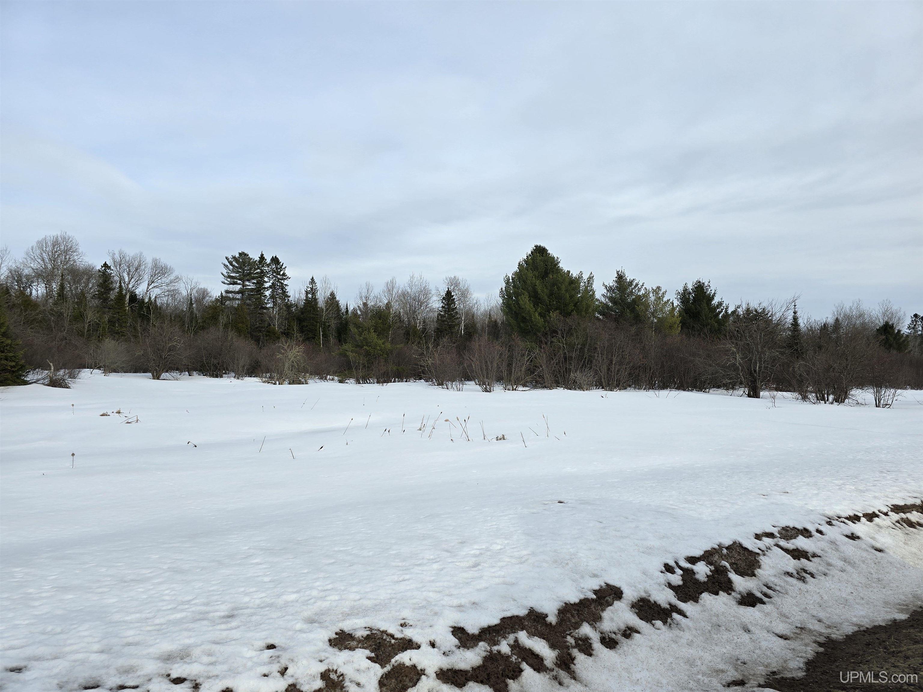
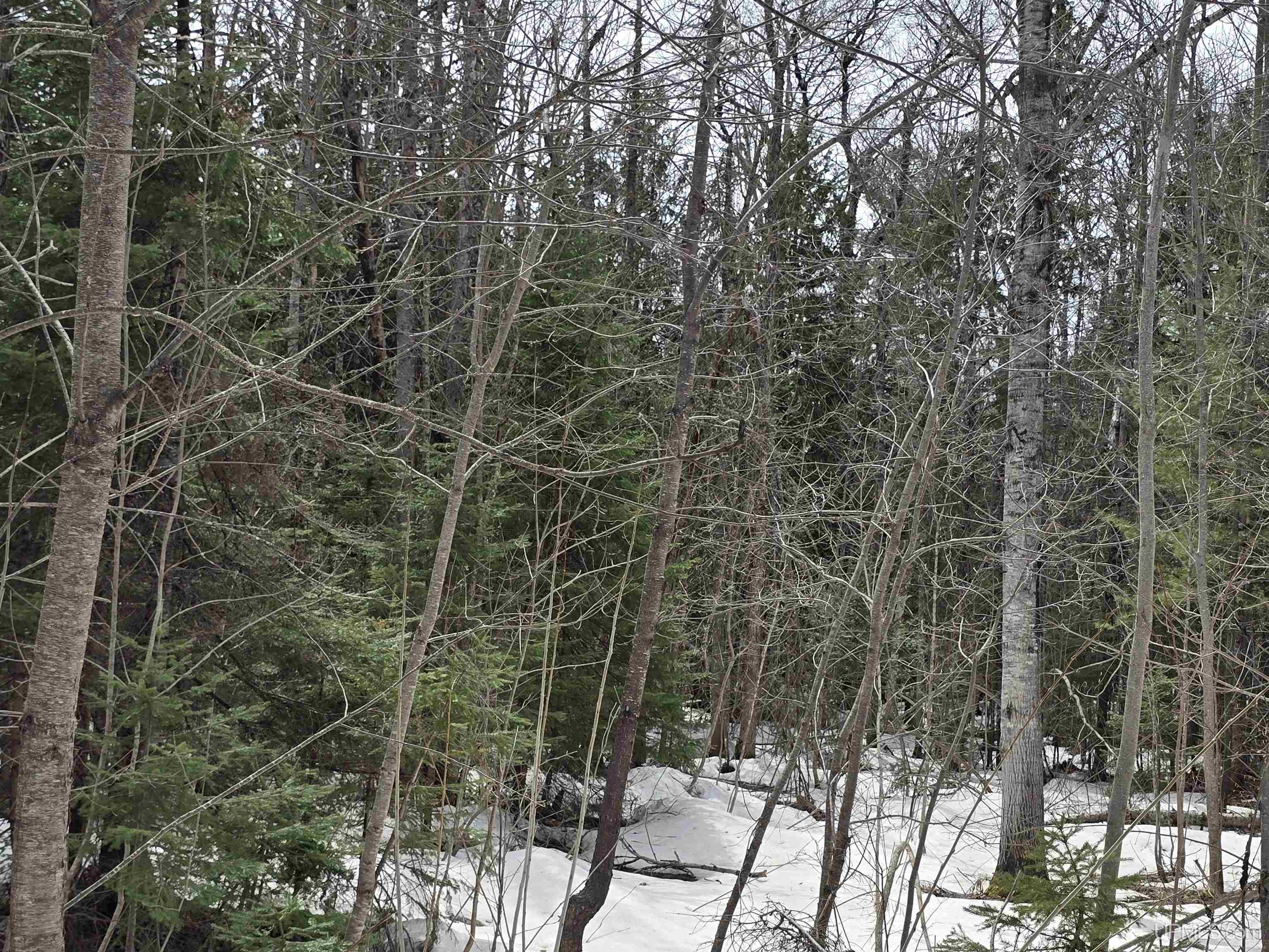
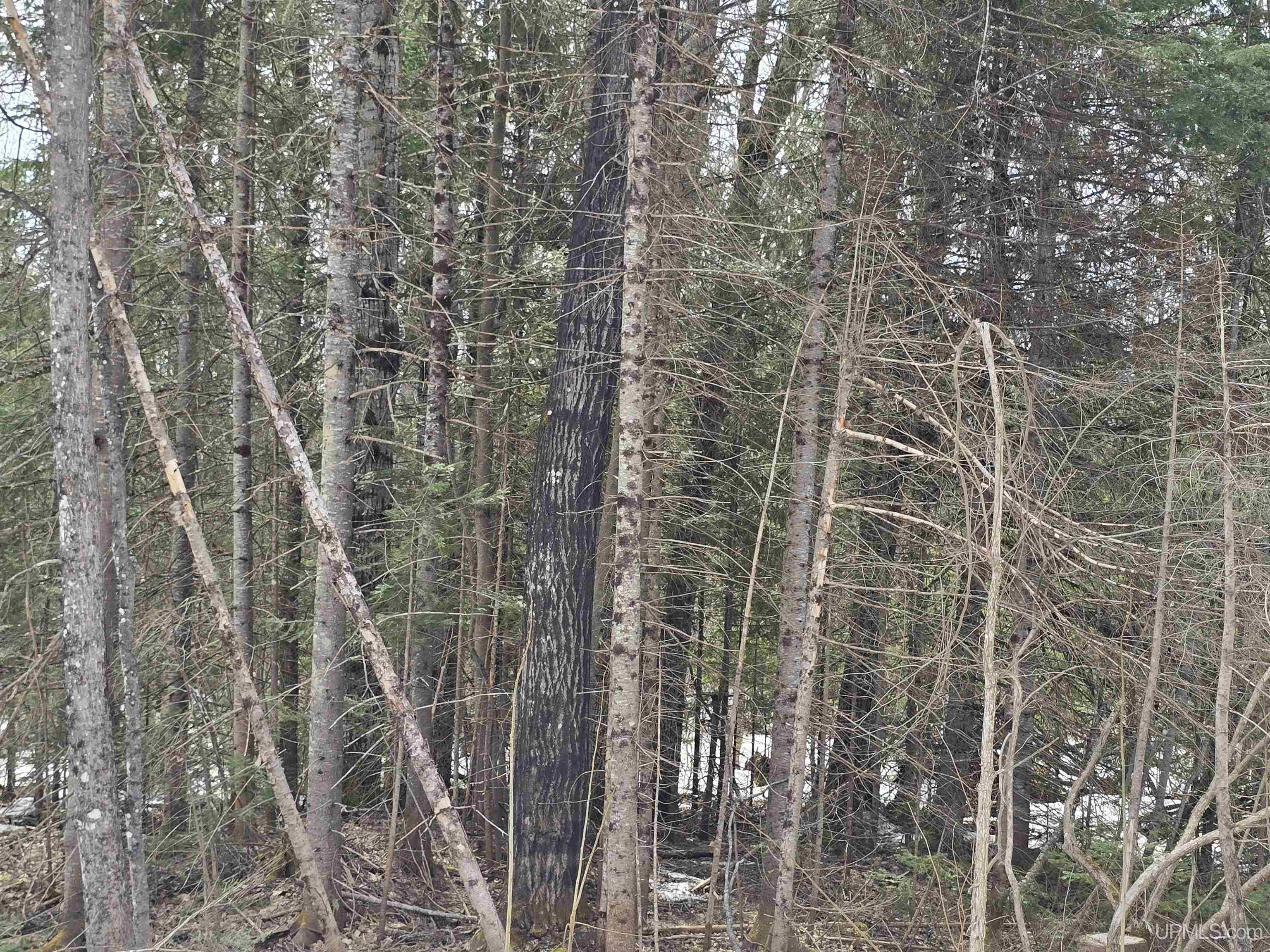
· Active

$32,500

TBD M 38 Highway

Greenland, MI 49929

MLS# 50170546

View Photos

Loan Calculator

Information Request

9.20

Acres

No

Waterfront

None

Sewer

None

Water

Tract name is Hwy 26/38 Intersection South. Electricity and phone are available at the street. The Butler Mine (see associated docs) was located near this property. This mine and the other mines in the area operated from the late 1800's to the early 1900's. Snowmobile trail # 3 borders this parcel on its north side. This trail has the historical trestle bridges that cross the Firesteel Rivers with the West Branch of the Firesteel River bridge crossing located 1.6 miles from the property. There is a large bluff on the north side of the trail near the sale area. The property is completely wooded. The property is near the West and East Branch of the Firesteel Rivers. These rivers are type 1 trout streams with populations of both brook and rainbow trout. This property is in an exceptional wildlife area. Expect to see bald eagles in the super canopy white pine trees on the bluff that is located just to the north of the tract. The parcel is surrounded by 1,000's of acres of State and corporate CFA lands. All information believed accurate but not warranted. Buyer recommended to inspect all aspects of the property & bears all risks for any inaccuracies. Buyer to verify all information including but not limited to the estimated acreage, lot size, square footage, utilities (availability& costs associated). Buyer should not assume the buyer’s taxes will be the same as seller’s present tax bills. Taxes are subject to change & property will be reassessed by the municipality after sale is completed. Taxes are not zero.

Location

County

Ontonagon

School District

Ontonagon Area Schools

Property Tax Area

Greenland Twp (66008)

Water Features

None

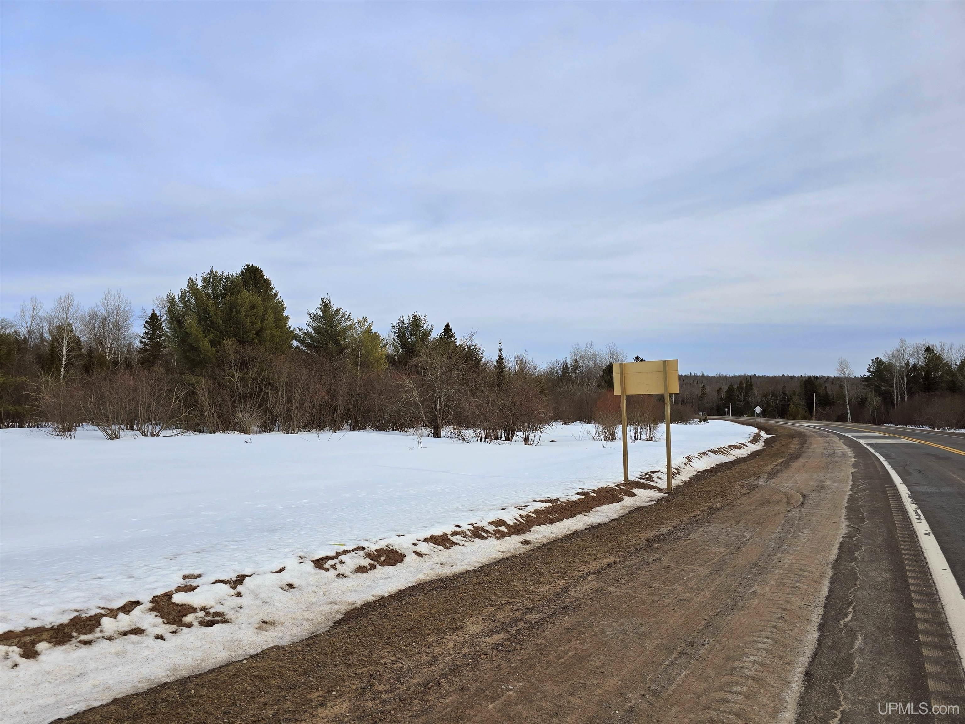
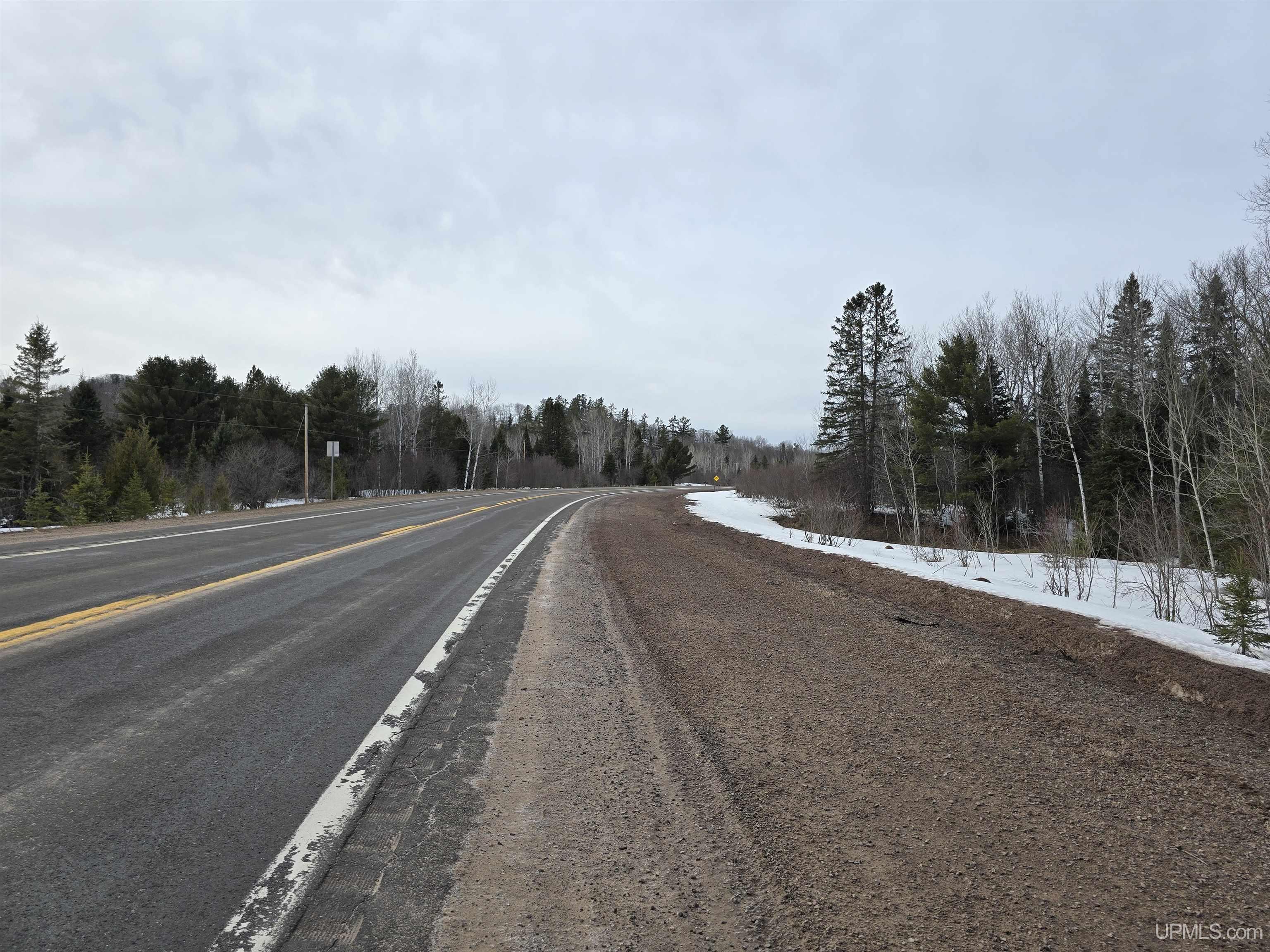
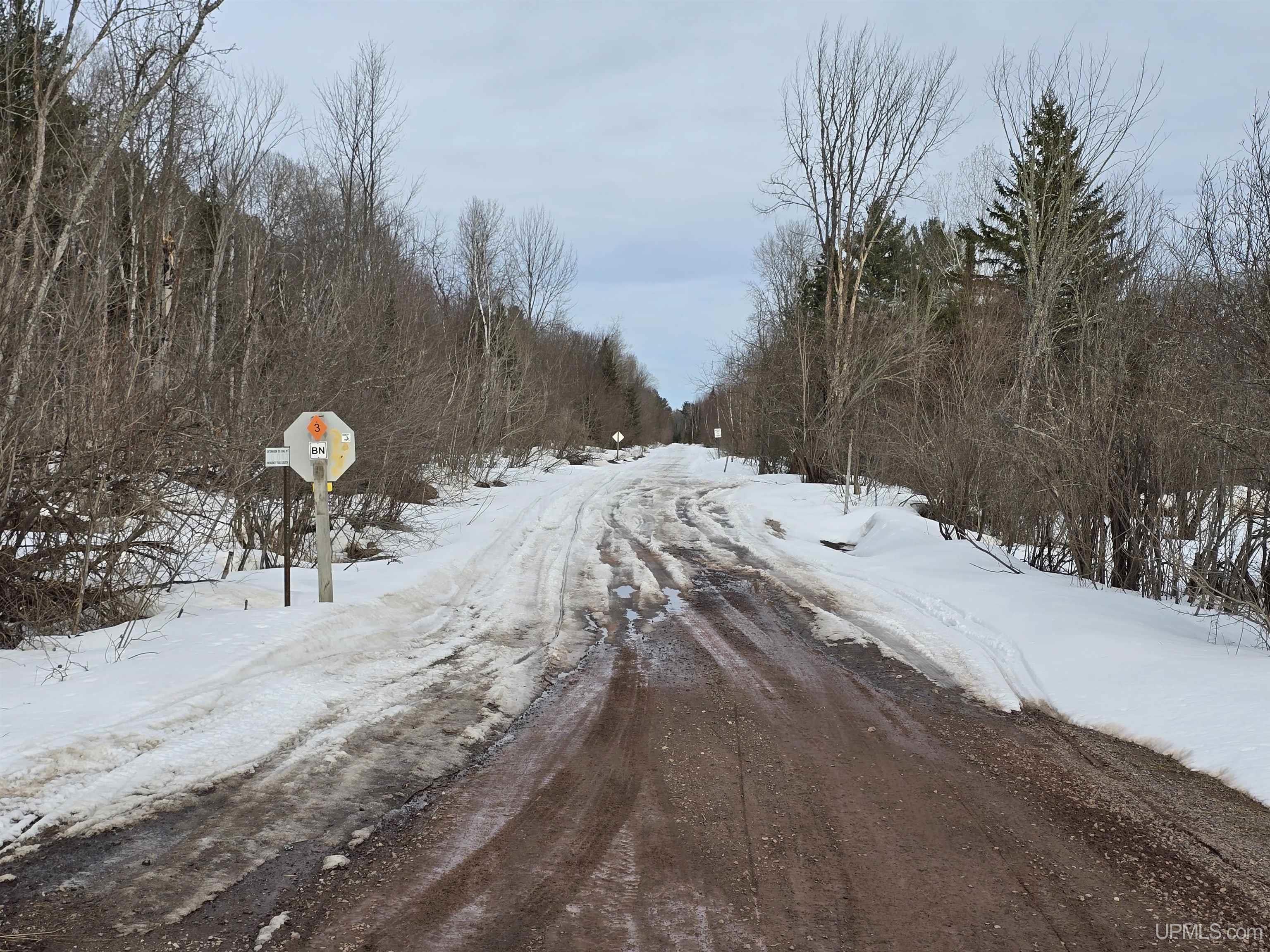
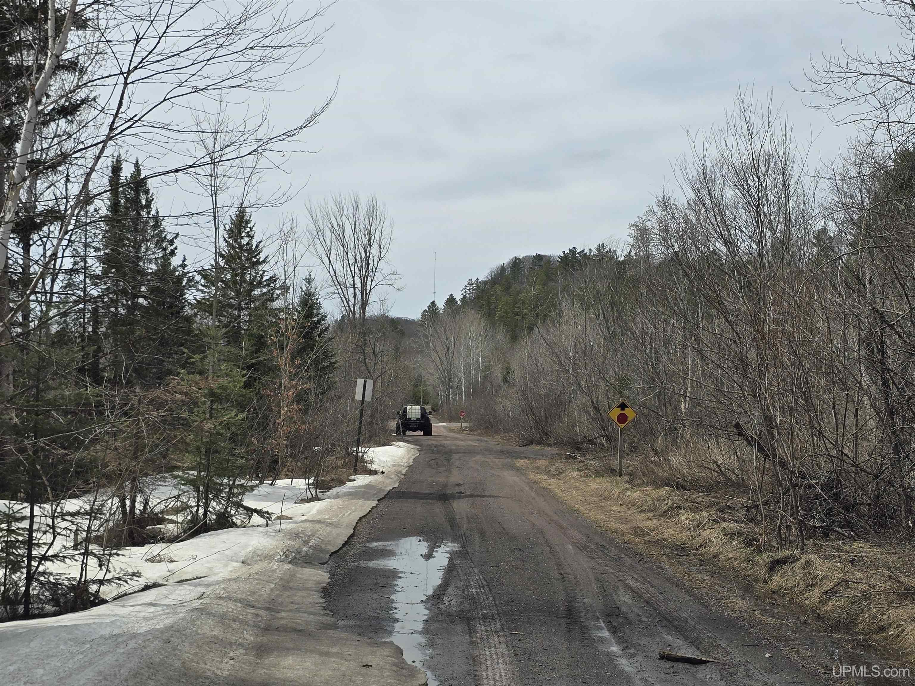
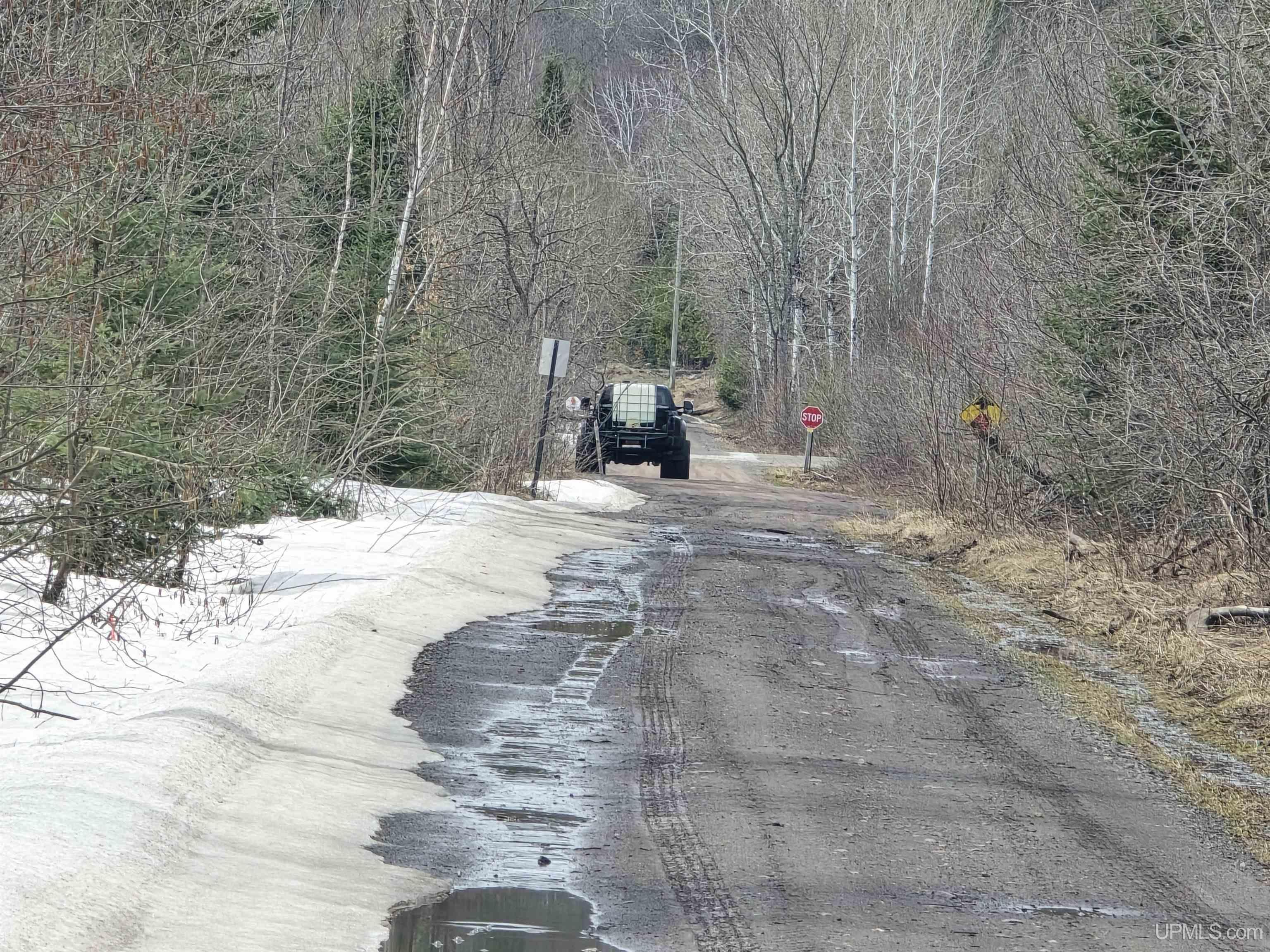
Waterfront

No

Road Access

City/County, Paved Street, Year Round

Legal Description

T51N R37W, Section 31, An area in the W 1/2 of the NE 1/4 east of the M-38 R-O-W and south of the State of Michigan snowmobile trail R-O-W.

Land Details

Acres (Approx.):

9.20

Body of Water:

Lot Dimensions:

Irregular

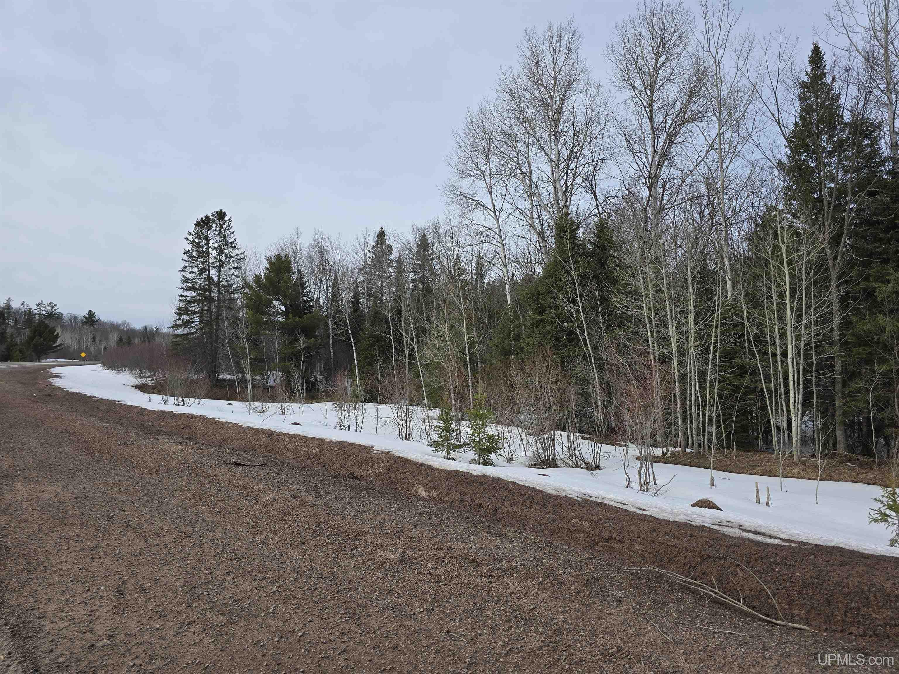
Road Access:

City/County, Paved Street, Year Round

Shore Type:

Not Applicable

Terrain:

Deep Lot - 150+ Ft., Large Lot - 65+ Ft., Sloping, Wooded

Utilities

Utilities:

Electricity Available, Natural Gas Not Available, Phone Available, Sewer Not Available, Water Not Available

Fuel on Site:

None (Fuel On Site)

Sewer:

None

Water:

None

Listing Details

Listing Office

Up North Realty

Listing Agent

Maki, Bruce

Advanced MLS Search